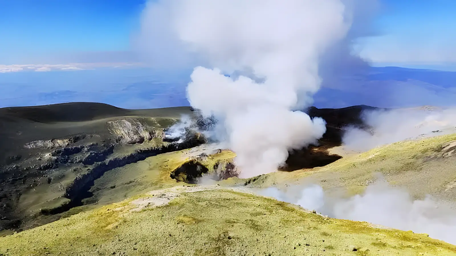
The northern summit-craters programme
Our private summit excursion starts at Piano Provenzana, around 1,800 m on the north side, and combines 4x4 transport with a demanding walk towards around 3,300 m when access and conditions allow. About five hours includes the transport. This is not the southern cable-car programme around 2,900 m, and neither itinerary guarantees a crater rim or the volcano’s highest point.
Check 1: the route currently permitted
Consult the current official access measures and confirm the itinerary with the guide close to departure. Restrictions depend on the area and situation; a single altitude quoted in a travel article is not a permanent rule. An authorised guide must accompany you where required and cannot override a closure. If conditions prevent our booked route, choose a practicable alternative, another date or a full refund.
Check 2: weather and volcanic conditions
Consider wind, visibility, storms, snow and ice at the route’s altitude, not just the forecast for the coast. Official monitoring provides information, not a guarantee that a walk will be possible. A webcam image may be delayed and cannot establish access or gas exposure. Check the mountain forecast and current notices; the guide may adapt or stop the excursion.
Check 3: walking, altitude and programme requirements
The walk involves loose volcanic ground and substantial uphill and downhill effort at altitude. Our summit programme starts from age 12 and requires good physical condition. Its exclusions include pregnancy, heart or respiratory problems and recent injuries. Discuss relevant health concerns with a clinician before booking; fitness or a guide’s assessment does not provide medical clearance. Transport reduces part of the climb, not the effects of altitude.
Check 4: equipment and the actual cost
Wear suitable hiking footwear and layers, with wind protection, sun protection, water and food appropriate to the day. A helmet is included on this summit programme; clothing and footwear are not. The private guide costs €500 per group up to six, plus €50 per person for 4x4 transport. Reach the mountain meeting point in your rental car; pickup is not included. See clothing and packing guidance.
Protezione Civile — Etna · CDC — high-altitude travel
Etna summit hike — quick answers
How hard is the Etna summit hike?
It is demanding because of altitude, loose terrain and the ascent and descent. Check the published walking requirements, minimum age of 12 and health exclusions before booking.
Do you need a guide to hike Etna's summit?
Follow the current ordinances: use an authorised guide where required, and respect closures even when accompanied. Booking a guide does not guarantee summit access.
How high is the Etna summit hike?
The programme aims towards around 3,300 m when permitted. The actual route may be lower or unavailable; this is not a guarantee of the highest point.
How long does the summit hike take?
Our programme lasts about five hours including the 4x4 transport from Piano Provenzana. Weather, access and group progress can affect timing.
Compare the three private excursions and their actual requirements.